
Here’s What Every Data Analyst Need’s to Know Everything About Spatial Data/Geographic Data
What is spatial data?
Spatial data is any type of data that directly or indirectly references a specific geographical area or location. Sometimes called geospatial data or geographic information, spatial data can also numerically represent a physical object in a geographic coordinate system.
Spatial data, also known as geospatial data, is a term used to describe any data related to or containing information about a specific location on the Earth’s surface. Non-spatial data, on the other hand, is data that is independent of geographic location.
Who uses spatial data?
Geospatial data is often used in scientific or government administration contexts, but it has an increasing number of commercial uses as well. From retail to investment to insurance.
It is used by people around the world to derive new information and make informed decisions. The organizations that use spatial analysis in their work are wide-ranging—local and state governments, national agencies, businesses of all kinds, utility companies, colleges and universities, NGOs.
Here are 5 scenarios where you can make use of geospatial data:
Mapping
One of the most common examples of geospatial data use is visualizing the area that the data describes. Whether it includes building footprints, transportation routes, or other points of interest, a precisely drawn map based on accurate location data can be an immensely powerful tool. And not just to travellers who may not know their way around a particular area, either.
Site selection
If you’re a business or other organization, you want to set up shop(s) where customers and other supporters are likely to visit you. Likewise, you also want to be able to tell when things have changed around a location that make it no longer viable, and it’s time to close down and move on. Geospatial data can help you do both of these things.
Visit attribution
Another use case for geospatial data example is telling the difference between someone actually entering your store or just simply passing by. Comparing accurate building footprint data with precise GPS data from mobile devices lets you know how many people actually entered the grounds of your store to buy something (or at least look around).
Urban planning
Geospatial data science techniques and applications can be helpful if you’re in government or the public sector. You can make sound community planning decisions based on data regarding where buildings are (and what they are), where people live, where they typically go in a day, and what routes they take to get there.
Investment research
If you work in an investment bank or private equity firm, knowing how to use geospatial data can be a points of interest with foot traffic data allows you to model and predict consumer behavior and movement patterns.
What problems does spatial data solve?
It helps:
- With environmental conservation, economic development, climate science, political mapping and health geography.
- Solves complex location-oriented issues by finding trends and patterns. It can assist in decision-making by analyzing various layers of information to understand and quantify patterns, make predictions, determine relationships and find the best path forward.
- Make better predictions about human behavior and understand what variables may influence an individual's choices.
- Show information about elevation, soil type, river structures, annual rainfall, temperature fluctuations, dry season details and more. Such information provides insight into the relationship between the environment and human influence.
Why should I have spatial data?
Geospatial data can help to predict geographic patterns, determine the suitability of land for changes in use and inform of potential effects.
Using geospatial technologies to gather location information provides us with data that can give a deeper understanding of a whole host of issues. This spatial data can answer questions, help with predictions, analysis and decision making.
Maps tend to be believed. From their early day’s maps were always very detailed. Second, they were often commissioned by rulers and others in power which is still the case today.
Other benefits:
Public Safety
Laser scanners can be used to map terrain, simulate battlefield environments, and plan routes for military operations, which helps with intelligence and decision making.
Preserving Landmarks
Scanning a large landmark or historical site can provide us with descriptive information about the area. This information can be used to create a digital twin of the site, aiding the preservation of.
Streamlining Workflow and Processes
In projects, large teams of people need to work closely together in order to complete complex tasks. This is extremely difficult without access to accurate information about sites, materials and progress. Historically, different data formats left siloes and made it difficult for teams to work together and with spatial data this is made easy.
Why now is the right time to have spatial data?
Geospatial data is critical in so many aspects of society; think of predicting and responding to climate change and natural disasters, for marine spatial data infrastructures to protect our oceans, and of course we all saw its role in monitoring and managing disease-spread during the COVID-19 pandemic.
Spatial data existed in very large file sizes and was difficult to use without advanced hardware. Now, with more high-tech computers and devices for processing and collecting data, more and more organizations are turning to spatial data to find answers to their problems. Smartphones, vehicle tracking, and satellites are helping to unlock the world of spatial and location data for organizations big and small.
There are two applications that are driving this enormous market. The first is to obtain an understanding of the “now”, the what, where, when and why.
The second reason is forecasting—predicting what is going to happen next. Necessarily, such forecasts are built on an understanding of the now (the 4W’s) what, where, when and why. Forecasts are embodied in models, which is why at Biomed ware we have tools such as Vestal , which stands for visualization and exploratory space-time analysis software.
Where can spatial data be used?
Using Spatial Data for Graphics. Maps are a common practice of presenting spatial data as they can easily communicate complex topics. They can help validate or provide evidence for decision making, teach others about historical events in an area, or help provide an understanding of natural and human-made phenomena.
Can be used in the following:
Mapping
GIS can be used to provide a visual interpretation of data. web-based GIS mapping solution that people use for everyday navigation purposes.
Competitive intelligence
Part of analysing how well your business is doing is knowing the competition: who they are, where they are, and how their performance may be impacting your own. Geospatial data can help you figure out how much geographic influence your company has in relation to where your customers come from and where your competitors are.
Telecom and Network Services
Organizations can incorporate geographic data into their complex network design, optimization, planning, and maintenance activities. This data enhances telecom processes through better customer-relationship management and location services.
Transportation Planning
GIS data is commonly used for managing transportation issues. With the addition of environmental and topical data in a GIS platform, companies can plan for a new road or rail route.
Agricultural Applications
GIS data helps create more efficient farming techniques, alongside analysing soil data in an advanced fashion. This can increase food production in different parts of the world.
Disaster Management and Mitigation
Efficient GIS systems protect the environment and are developed to assist risk and disaster management.
Banking
Banking has evolved to become market-driven, and a bank’s success depends mainly on its ability to provide customer-driven services. GIS data plays an essential role in planning, organizing, and decision making in the banking industry.
Taxation
GIS data helps solve taxation problems and maximize government income. It is used for building permits and engineering and offers a system for managing property tax on a geographic basis.
Assets Management and Maintenance
GIS data helps organizations become more efficient with finite resources. With an understanding of the population at risk, planners can allocate resources more efficiently.
How will spatial data benefit you?
Cost Savings
there are many benefits of using geospatial data in analytics and cost savings is one of them. The cost savings can result in a higher form of efficiency. The GIS technology applications carry out the work by working through the mission itself.
Better communication
With the geospatial data growth, better communication between the people and the different teams working for the welfare and security of people can take place. The GIS maps can assist in easing out the tough situation. It helps to improve communication between different organizations and the public.
Mapping & Visualization of Data
Integrating spatial data into business operation strategies allows the data to be visualized. Investors and landowners can see where their properties are and tap into insights that lead to better analysis and decision-making.
Secure Account Access
Storing data, including land transaction deeds, spatial analysis and legal documents securely and digitally in a cloud platform, allows for extra levels of security. For example, multi-level authentication, password protection measures and other user verification methods can be installed.
They help to bring a humanitarian change
There are so many people out there who are suffering from economic diseases like poverty and unable to buy a meal. With the GIS application examples, we can see that there are billions of people who do not eat enough. Hence, to tackle the problems of hunger, food security, GIS technology could be of help.
Geographic information keeping
When there are questions about the use of spatial data, many organizations point you the primary responsibility of GIS technology. It is to keep the geography accounting going on. The geospatial data in analytics examples are population census, zoning, land ownership, and administrative boundaries.
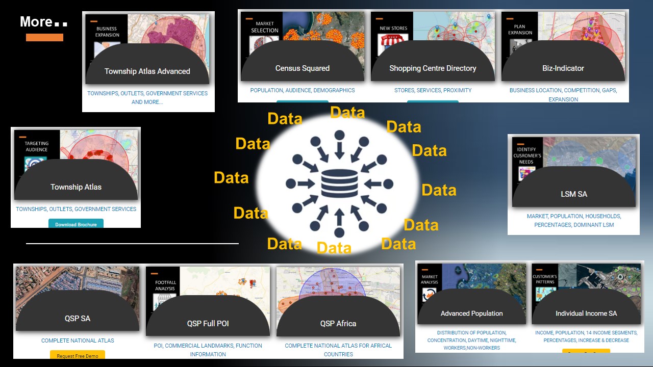
By the way, did you know that we have a plethora of different Spatial Datasets already cleaned and organized to meet different business needs? Yep, it's true.
Go to our website, click on the Data tab and Claim your Free Demo Session 100% Risk Free Guaranteed, you will then be presented with a form, fill in the form and click the Submit button for one of our specialist to contact you to setup a demo.
Thanks
#geographicData #spatialDatasets #spatialDataCatalog #dataCatalogs #datasets